Yosemite Falls Trail
After resting a bit the day before, I set off early this morning. After a four-hour drive, I reached Yosemite National Park via the Central Yosemite Highway, which is a highlight in itself and mostly follows the Merced River.
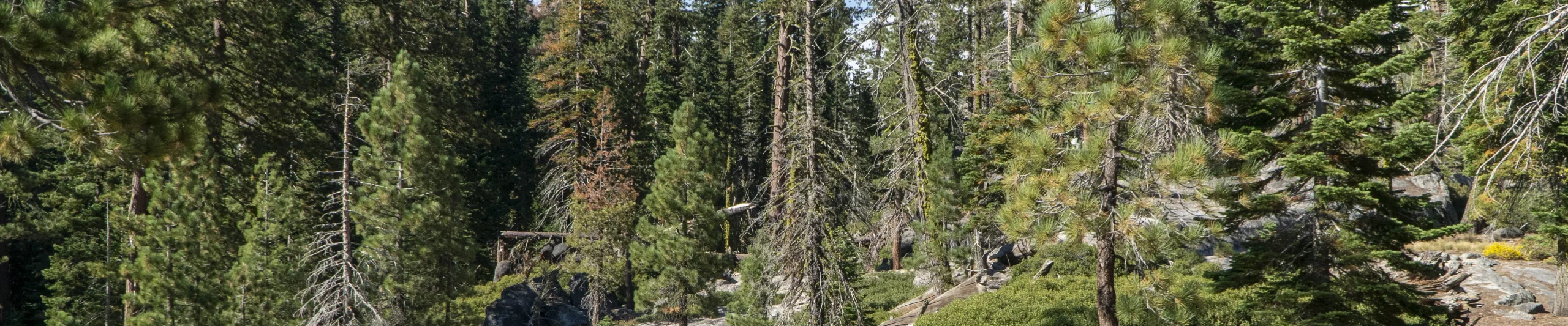
Around noon I parked my car at the Yosemite Falls car park to start the hike up to Yosemite Falls. The Yosemite Falls Trail itself is very well constructed, but goes over a very long stretch of winding trails. The first highlight is at Columbia Rock. From here you have a great view over Yosemite Valley. The trail now leads easily to the foot of Yosemite Falls. This is the best view of Yosemite Falls. The rest of the climb takes you away from the falls, with more hairpin bends through the forest. Once the vegetation thins out, you are rewarded with a magnificent view of the mountains. Finally, the trail climbs up through a gorge. Once you reach the top of the plateau, you are rewarded with breathtaking scenery. The view alone is worth the effort. The path continues to the waterfalls, which can now be seen from above. Meanwhile, many hikers relax on the banks of Yosemite Creek.
After I had recovered a bit, it was downhill again. As I had started the hike relatively late, I had to deal with more and more insects as the twilight approached, which made the descent more and more strenuous. I reached my car in the early evening and drove to Oakhurst, where I stayed at the Yosemite Southgate Hotel & Suites. Unfortunately, I didn’t realise at the time that I would be driving for almost an hour on a very winding road to get to the hotel. On top of that, some Americans drive very cautiously, which made the journey even longer as it was impossible to overtake properly at any point. I even felt slightly nauseous at times, so I was glad when the road straightened out again. Arriving at the hotel, I was delighted to find a huge room and a comfortable bed.
Pictures Yosemite Falls Trail


What are your thoughts about the Yosemite Falls Trail? Just write it here in the comment field below the report or visit our social media channels:
Click here for the next report of the California Adventure Tour


